Edzna in Mexico


The Pre-Colombian Mayan Site of Edzna in Mexico
Edzná is a Maya archaeological site in the north of the Mexican state of Campeche which has been open to visitors since the 1970s.
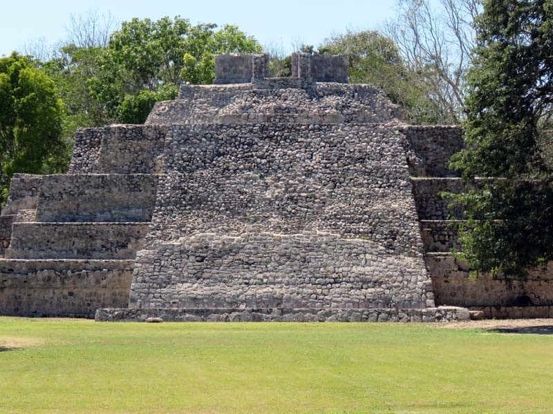
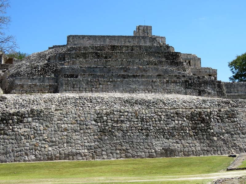
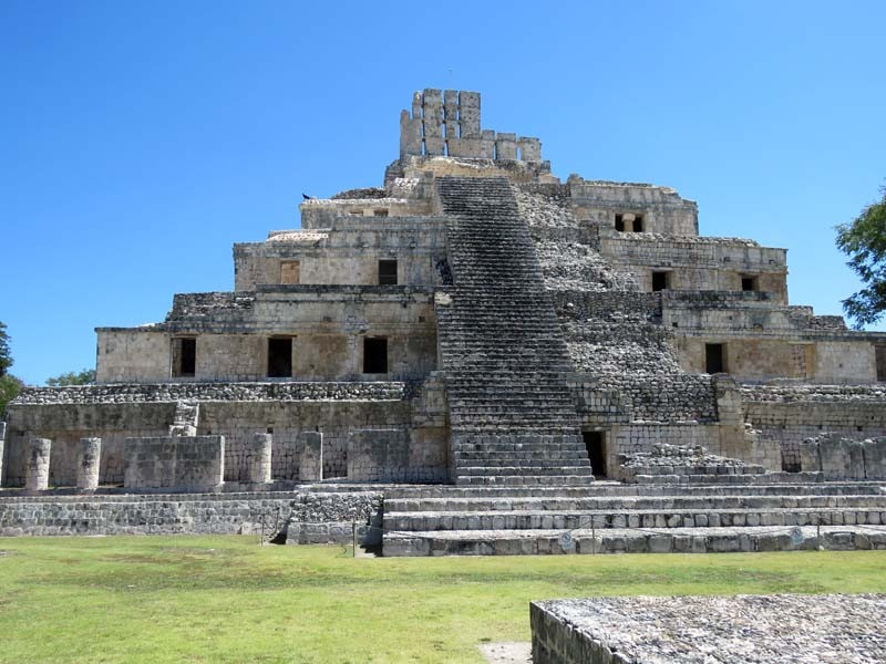
Edzna, stylistically and visually, is a very impressive Maya archaeological zone. Its highest pyramid can be seen well before one enters the zone. Its original name may have been Wakab’ Nal/Wak Pet Chaab’, "Land of the Seven Provinces/Sacred Lands." This influential political and economic regional capital was a mixture of several architectural styles spanning over 1500 years from 300 BC. to 1450 AD.
Edzná was already inhabited in 400 BC, and abandoned ca. 1500 AD. During the time of occupation, a government was set up whose power was legitimized by the relationship between governors and the deities. In the Late Classic period Edzná was part of the Calakmul polity. Edzná may have been inhabited as early as 600 BC but it took until 200 AD before it developed into a major city. The word Edzná comes from "House of the Itzaes". The architectural style of this site shows signs of the Puuc style, even though it is far from the Puuc Hills sites. The decline and eventual abandonment of Edzná remains a mystery today.
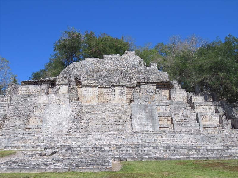
Edzna, "House of the Itzas", began as a simple settlement in the Middle Preclassic (700-300 BC). Masonry structures in the Peten style begin to appear in the Late Preclassic (300 BC-250 DC). Puuc and Chenes style architecture appears by the 6th century as Edzna exerts its greatest political and economic power becoming a regional capital. It had extensive contact with important sites such as Calakmul, Tikal and Piedras Negras. Some new construction and additions continued into the Post Classic (1150-1500 DC) though towards the end its influence had begun to ebb, and the site was abandoned by 1450 CE. Ten early rulers are mentioned on several stelae both within Edzna and from other sites such as Naranjo, including a possible reference to three queens.
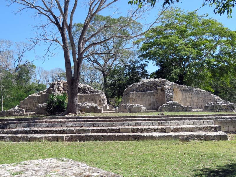
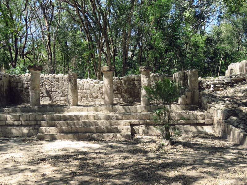
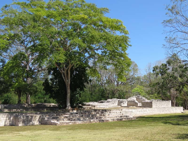
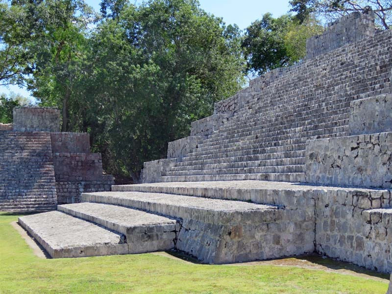
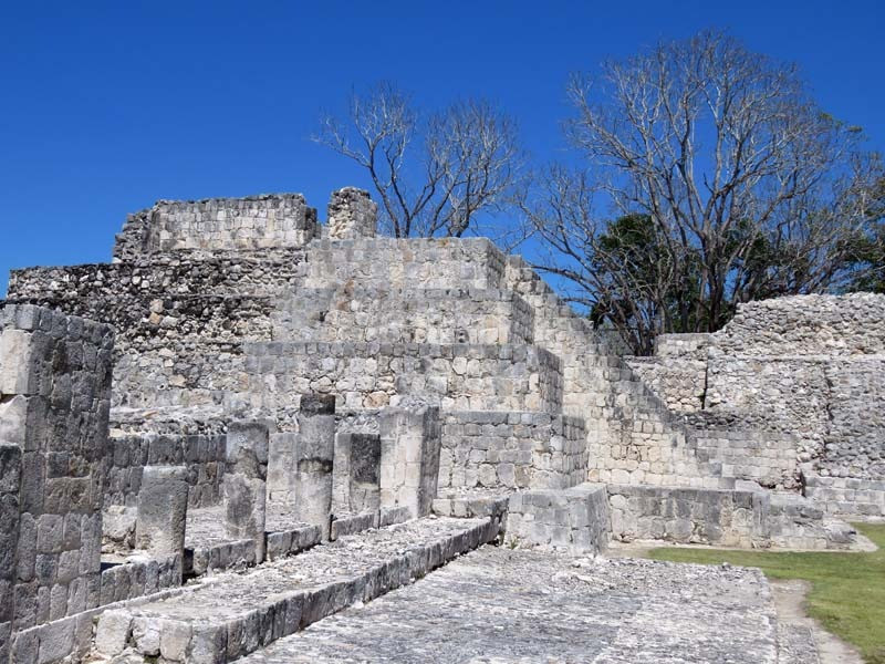
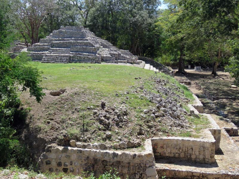
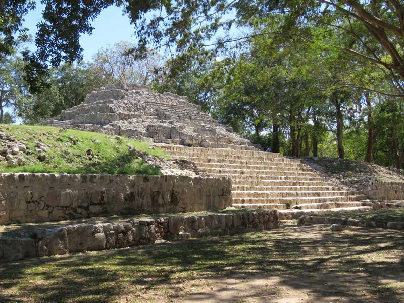
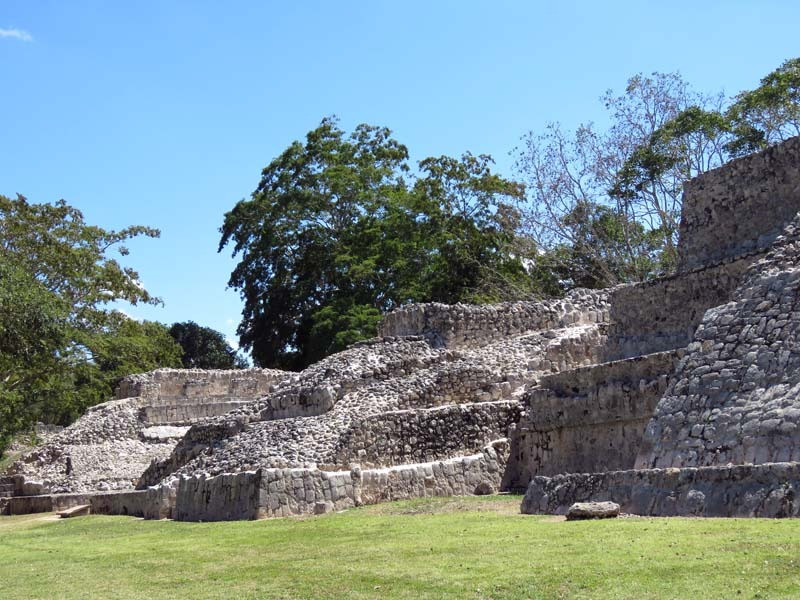
The site features 4 main complexes containing numerous individual palaces, platforms, and residential structures. Several sacbeob (white stone roads), man-made irrigation canals, and reservoirs are located within the zone. Over 32 stelae (carved stone historical markers) have been discovered so far, as well as two hieroglyphic stairways. It covers an area of about 9.5 sq. miles/25 sq. kms, though the core area is easily visited. Recent research has identified a partial royal lineage and an emblem glyph for the site.
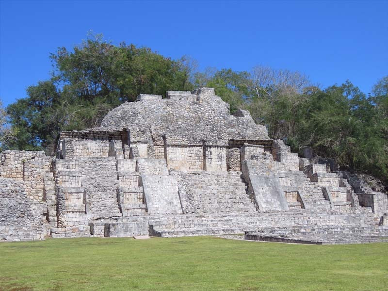
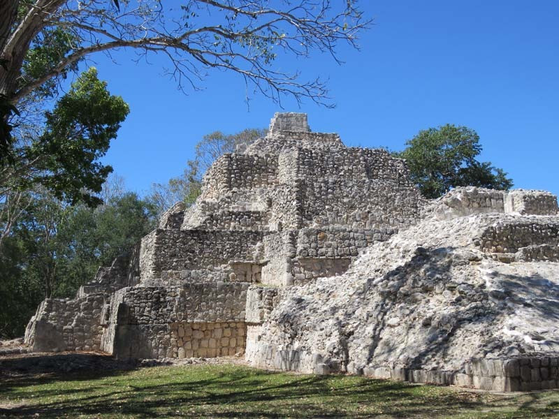
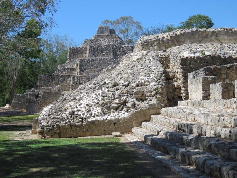
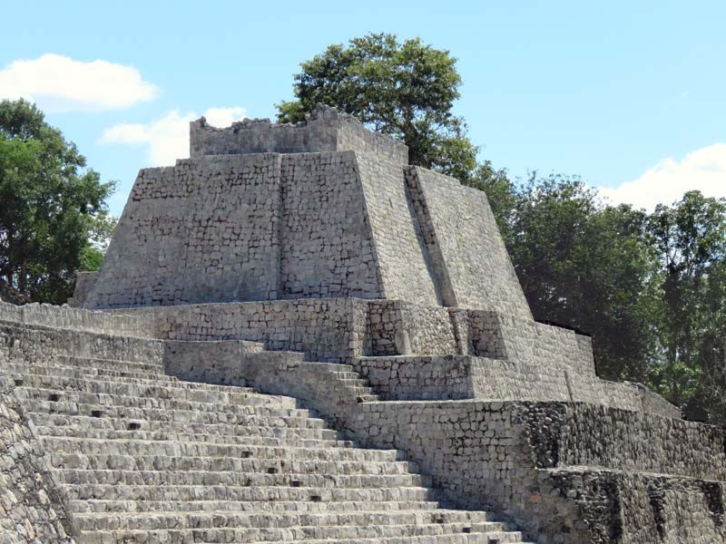
The most remarkable building at the site is the main temple located at the plaza. Built on a platform 40 meters high, it provides a wide overview of the surroundings. Another significant building located in the plaza is a ball court. Two parallel structures make up the ball court. The top rooms of the ball court were possibly used to store images of the gods associated with the events, along with items needed for the games.
The first mention of Edzna was by Teobert Maler in 1887 who was exploring in the Chenes region, though he did not take the opportunity to make his way to the site. In 1906 workers from the nearby Hontun Hacienda reported the site to the local government. Further investigations were delayed by the Mexican Revolution (1910-1920).
Though discovered in 1907, Edzna wasn't formally reported until 1927 by Nazario Quintana Bello, a scholar and archaeological investigator for the Mexican Ministry of Education. The site was visited by Sylvanus Morley of the Carnegie Institution in the same year, as well as several researchers from Mexico. The INAH conducted investigations in 1943, then began excavations and consolidations in 1958-59. George Andrews compiled the first topographic map in 1967. In 1986, coordinating agencies began to employ Guatemalan refugees in the excavation, restoration and maintenance at Edzná. This project was funded by various international organizations.
The structures visitors see today are all within the core area of the site, and were mostly built between 750-950 CE.
There are many other architectural groups, some quite large, located within the archaeological zone, mostly in an unexcavated state. (1)
Photographed in 2024.
1. www.themayanruinswebsite.com/edzna