Capitol Reef


Capitol Reef National Park
Capitol Reef National Park is an American national park in south-central Utah. The park is approximately 60 miles long on its north-south axis and just 6 miles wide on average. The park was established in 1971 to preserve 241,904 acres (377.98 sq mi) of the desert landscape and is open all year, with May through September being the highest visitation months.
Partially in Wayne County, Utah, the area was originally named "Wayne Wonderland" in the 1920s by local boosters Ephraim P. Pectol and Joseph S. Hickman. Capitol Reef National Park was designated a national monument on August 2, 1937, by President Franklin D. Roosevelt to protect the area's colorful canyons, ridges, buttes, and monoliths; however, it was not until 1950 that the area officially opened to the public. Road access was improved in 1962 with the construction of State Route 24 through the Fremont River Canyon.
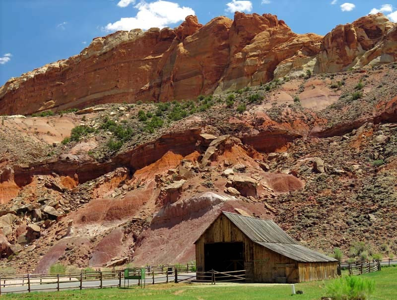
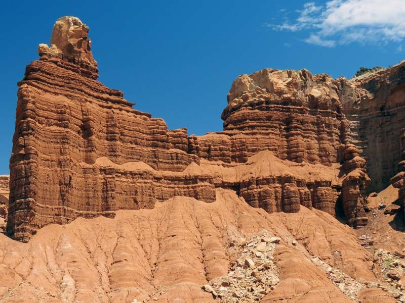
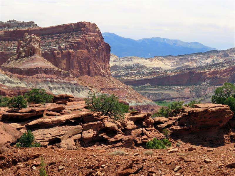
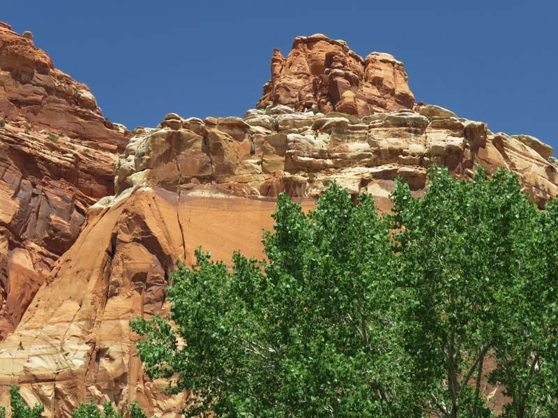
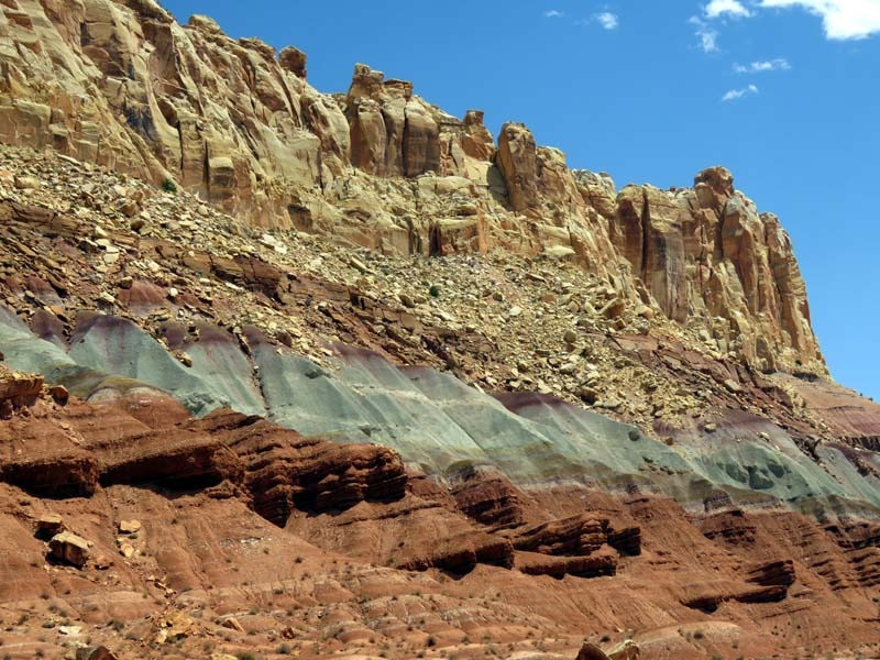
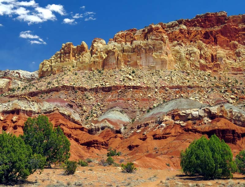
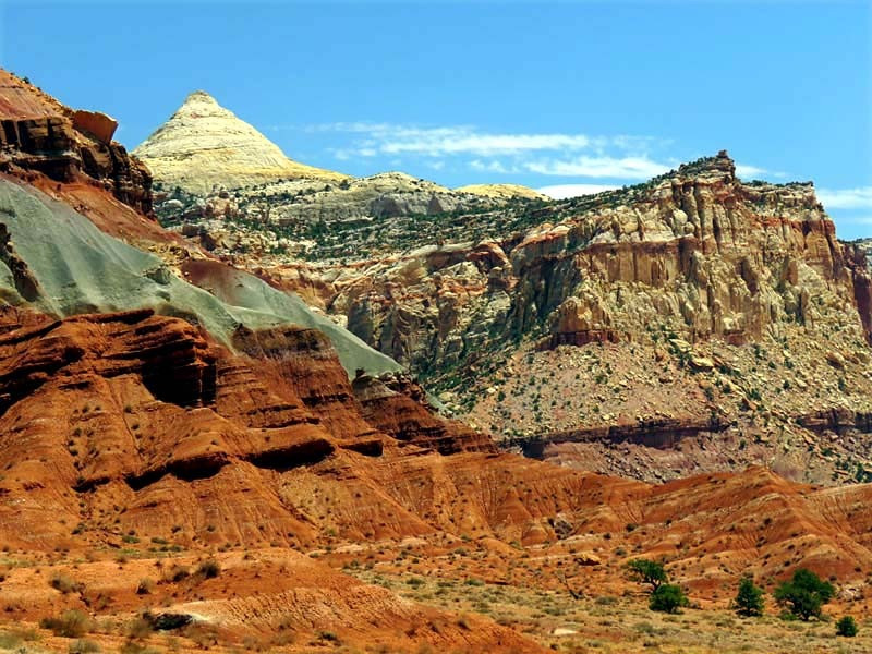
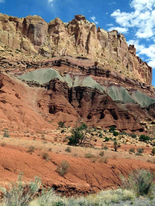
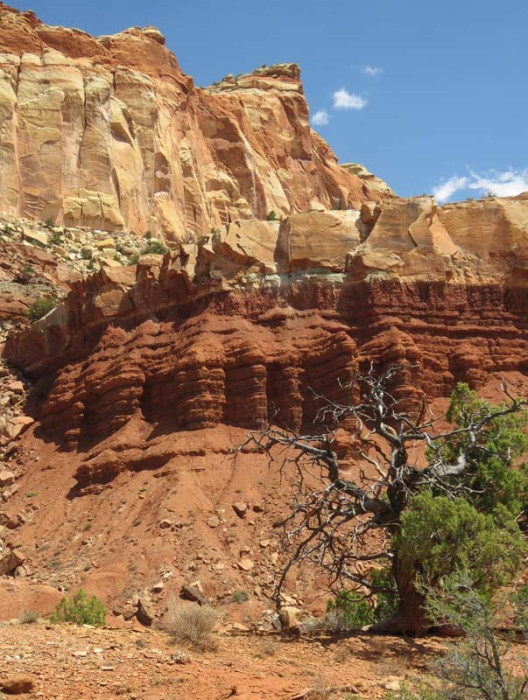
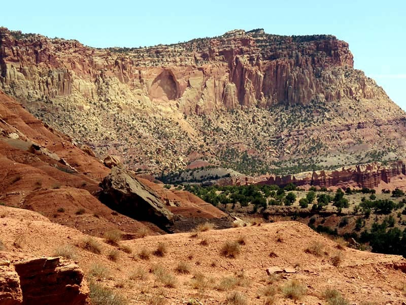
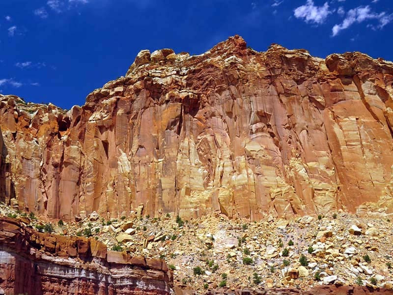
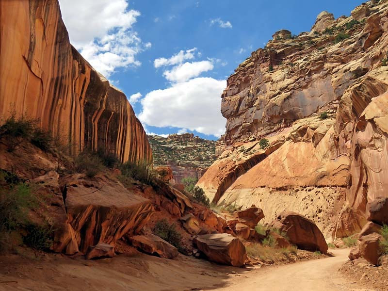
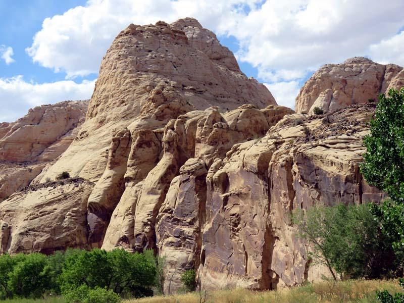
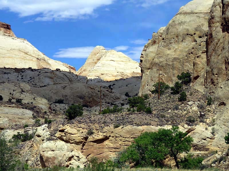
The majority of the nearly 100 mi long up-thrust formation called the Waterpocket Fold—a rocky spine extending from Thousand Lake Mountain to Lake Powell—is preserved within the park. Capitol Reef is an especially rugged and spectacular segment of the Waterpocket Fold by the Fremont River. The park was named for its whitish Navajo Sandstone cliffs with dome formations—similar to the white domes often placed on capitol buildings—that run from the Fremont River to Pleasant Creek on the Waterpocket Fold. Locally, reef refers to any rocky barrier to land travel, just as ocean reefs are barriers to sea travel.
Fremont-culture Native Americans lived near the perennial Fremont River in the northern part of the Capitol Reef Waterpocket Fold around the year 1000. They irrigated crops of maize and squash and stored their grain in stone granaries (in part made from the numerous black basalt boulders that litter the area). In the 13th century, all of the Native American cultures in this area underwent sudden change, likely due to a long drought. The Fremont settlements and fields were abandoned.
Many years after the Fremont left, Paiutes moved into the area. These Numic-speaking people named the Fremont granaries moki huts and thought they were the homes of a race of tiny people or moki.
In 1872 Almon H. Thompson, a geographer attached to United States Army Major John Wesley Powell's expedition, crossed the Waterpocket Fold while exploring the area. Geologist Clarence Dutton later spent several summers studying the area's geology. None of these expeditions explored the Waterpocket Fold to any great extent.
Following the American Civil War, officials of The Church of Jesus Christ of Latter-day Saints in Salt Lake City sought to establish missions in the remotest niches of the Intermountain West. In 1866, a quasi-military expedition of Mormons in pursuit of natives penetrated the high valleys to the west. In the 1870s, settlers moved into these valleys, eventually establishing Loa, Fremont, Lyman, Bicknell, and Torrey.
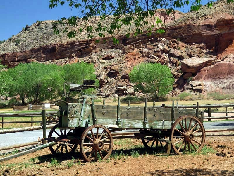
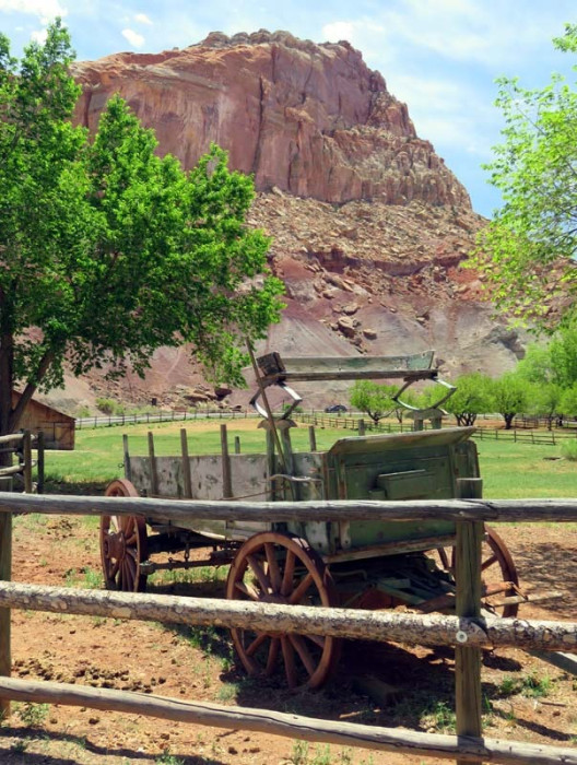
Mormons settled the Fremont River valley in the 1880s and established Junction (later renamed Fruita), Caineville, and Aldridge. Fruita prospered, Caineville barely survived, and Aldridge died. In addition to farming, lime was extracted from local limestone, and uranium was extracted early in the 20th century. In 1904 the first claim to a uranium mine in the area was staked. The resulting Oyler Mine in Grand Wash produced uranium ore.
By 1920 no more than ten families at one time were sustained by the fertile flood plain of the Fremont River and the land changed ownership over the years. The area remained isolated. The community was later abandoned and later still some buildings were restored by the National Park Service. Kilns once used to produce lime are still in Sulphur Creek and near the campgrounds on Scenic Drive.