Mt. Rainier
Mount Rainier National Park
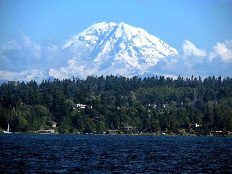
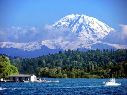
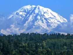
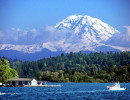
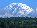
Mount Rainier National Park is located in southeast Pierce County and northeast Lewis County in Washington state. The park was established on March 2, 1899, as the fifth national park in the United States, preserving 236,381 acres (369.3 sq mi) including all of Mount Rainier, a 14,411-foot stratovolcano. The mountain rises abruptly from the surrounding land with elevations in the park ranging from 1,600 feet to over 14,000 feet (490–4,300 m). The highest point in the Cascade Range, Mount Rainier is surrounded by valleys, waterfalls, subalpine meadows, and 91,000 acres (142.2 sq mi) of old-growth forest. More than 25 glaciers descend the flanks of the volcano, which is often shrouded in clouds that dump enormous amounts of rain and snow.
Mount Rainier is circled by the Wonderland Trail and is covered by glaciers and snowfields totaling about 35 square miles. Carbon Glacier is the largest glacier by volume in the contiguous United States, while Emmons Glacier is the largest glacier by area. Mount Rainier is a popular peak for mountaineering with some 10,000 attempts per year with approximately 50% making it to the summit.
Ninety-seven percent of the park is preserved as wilderness under the National Wilderness Preservation System as Mount Rainier Wilderness, a designation it received in 1988. It is abutted by the Tatoosh, Clearwater, Glacier View, and William O. Douglas Wildernesses. The park was designated a National Historic Landmark on February 18, 1997, as a showcase for the National Park Service Rustic style architecture of the 1920s and 1930s, exemplified by the Paradise Inn and a masterpiece of early NPS master planning. As a Historic Landmark district, the park was administratively listed on the National Register of Historic Places.
The earliest evidence of human activity in the area which is now Mount Rainier National Park, a projectile point dated to circa 4,000–5,800 years ago found along Bench Lake Trail.
A more substantial archeological find was a rock shelter near Fryingpan Creek, east of Goat Island Mountain. Hunting artifacts were found in the shelter. The shelter would not have been used all year round. Cultural affinities suggest the site was used by the Columbia Plateau Tribes from 1000 to 300 years ago.
In 1963 the National Park Service contracted Washington State University to study Native American use of the Mount Rainier area. Richard D. Daugherty led an archeological study of the area and concluded that prehistoric humans used the area most heavily between 8000 and 4500 years ago. Allan H. Smith interviewed elderly Native Americans and studied ethnographic literature. He found no evidence of permanent habitation in the park area. The park was used for hunting and gathering and for occasional spirit quests. Smith also came to tentative conclusions that the park was divided among five tribes along watershed boundaries; the Nisqually, Puyallup, Muckleshoot, Yakama, and Taidnapam (Upper Cowlitz). Subsequent studies cast doubt on Smith's theory that the tribes had agreed upon boundaries before they entered into treaties with the United States in 1854–55.
On March 2, 1899, President William McKinley signed a bill passed by Congress authorizing the creation of Mount Rainier National Park, the nation's fifth national park. It was the first national park created from a national forest. The Pacific Forest Reserve was created in 1893 and included Mount Rainier. It was enlarged in 1897 and renamed Mount Rainier Forest Reserve.
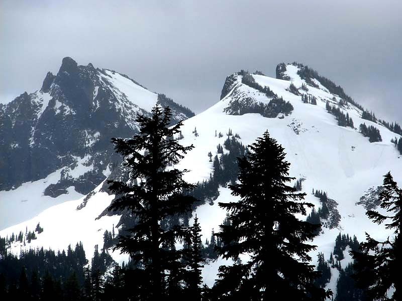
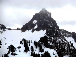
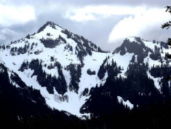
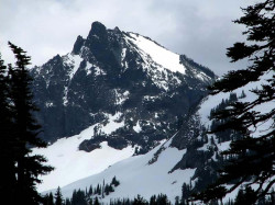
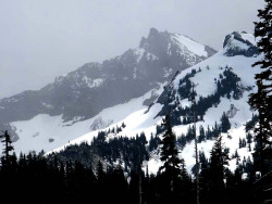
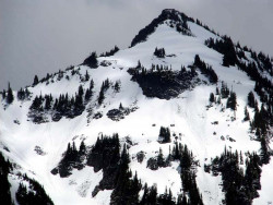
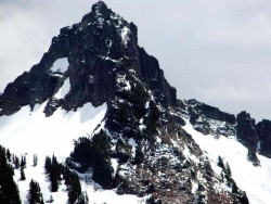
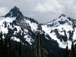
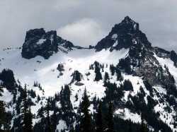
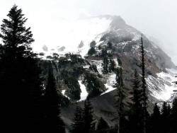
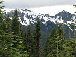
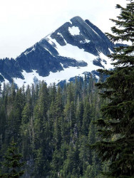
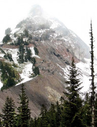
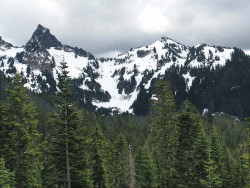
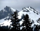
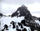
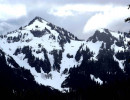
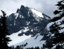
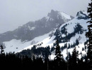
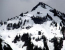
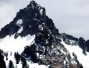
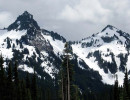
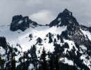
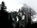
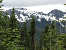
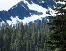
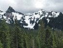
Mt. Rainier National Park is southeast of Seattle. The only day there was clouded in and the surrounding peaks poked through on occasion. Mt. Ranier stayed hidden.
