Scenic Byway 12


State Route 12
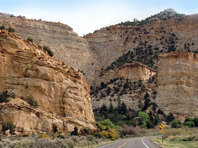
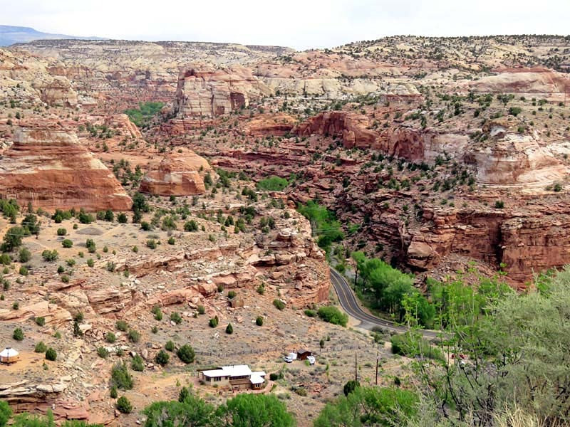
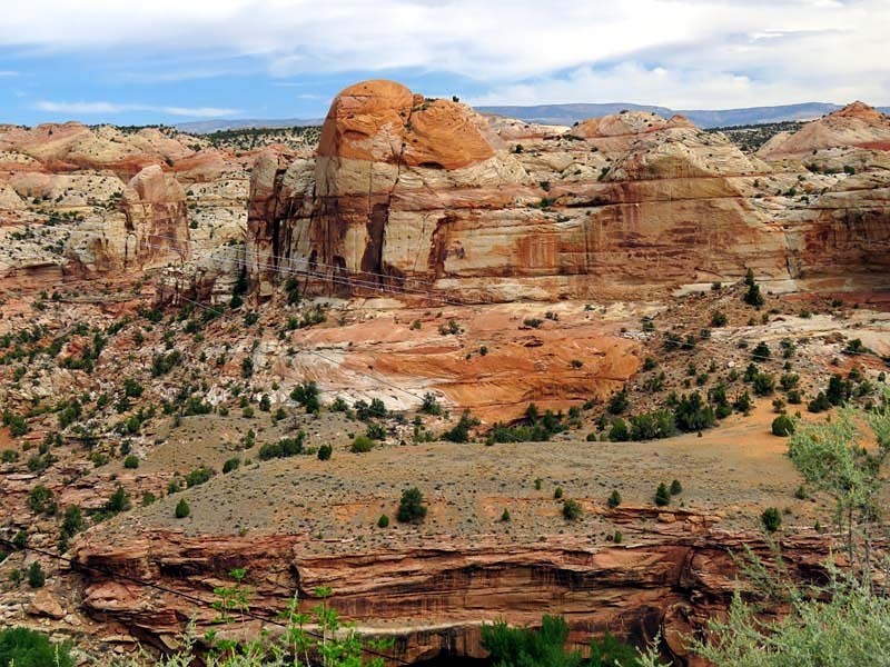
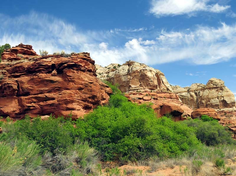
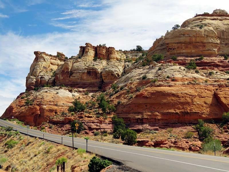
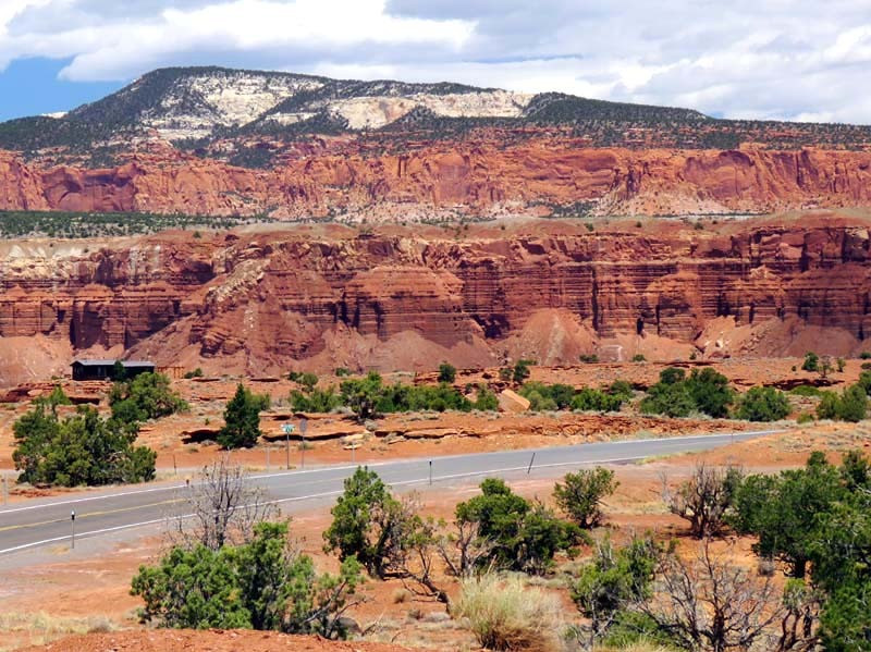
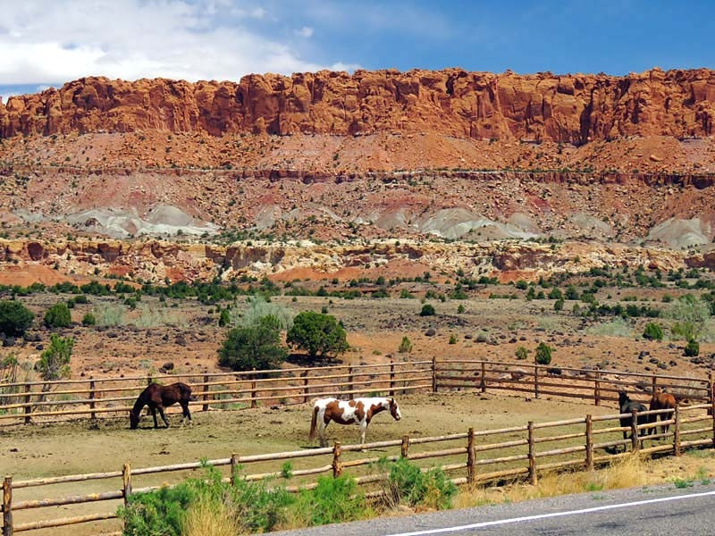
State Route 12 or Scenic Byway 12 (SR-12), also known as "Highway 12 — A Journey Through Time Scenic Byway", is a 123-mile-long state highway designated an All-American Road located in Garfield County and Wayne County, Utah.
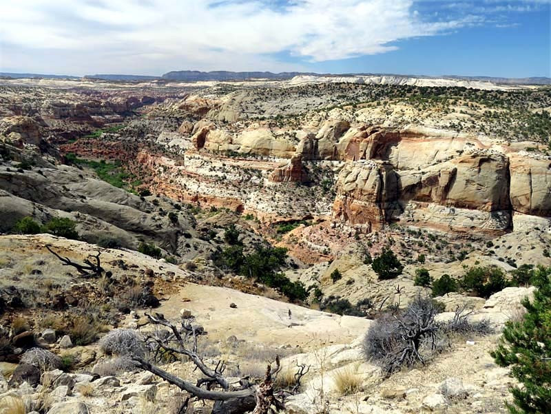
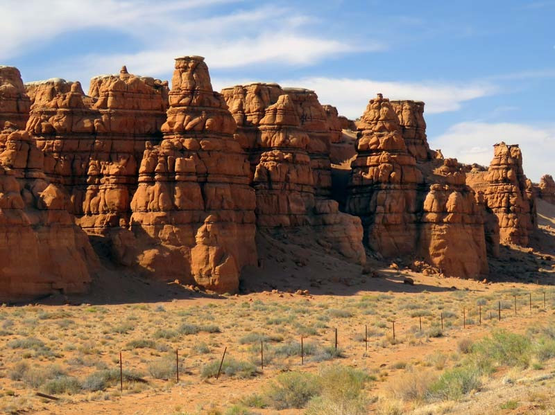
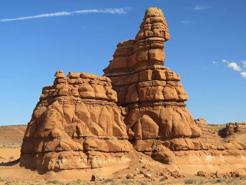
The highway crosses part of Dixie National Forest and Bryce Canyon National Park and continues through the small towns of Tropic, Cannonville, and Henrieville. It crosses various parts of Grand Staircase-Escalante National Monument, continues northeast through Escalante and over the Escalante River, then over the Hogback, a narrow ridge with no guardrails or shoulders and steep drop-offs on each side. It then proceeds north through Boulder, the Aquarius Plateau, Grover, ending in Torrey at an intersection with SR-24, five miles west of Capitol Reef National Park. The 30-mile-long portion of the highway that ascends and descends Boulder Mountain on the Aquarius Plateau is known as Boulder Mountain Highway.
The Average Daily Traffic on SR-12 is at its greatest at its western junction with US-89, where the count for 2005 was 2,430. At its other end, at the junction with SR-24, the traffic bottoms out at 435.